

.jpg)


Overview
Over thirty Noh stages survive on this island - a third of all those left in Japan, one to a village.
About this place
Sado Island (佐渡島, Sado(ga)shima; Japanese pronunciation: [sa.do.ɡaꜜ.ɕi.ma, -do.ŋaꜜ-]) is an island located in the eastern part of the Sea of Japan, under the jurisdiction of Sado City, Niigata Prefecture, Japan, with a coastline of 262.7 kilometres (163.2 mi). In October 2017, Sado Island had a population of 55,212 people. Sado Island covers an area of 854.76 km2 (330.02 sq mi), and is the sixth largest island in Japan, excluding the disputed Southern Kurils. The shortest distance between Sado Island and Honshu is 32 km (20 mi). The highest peak on Sado Island is Mount Kinpoku, with an elevation of 1,172 m (3,845 ft). Sado Island was the site of forced labor during World War II, when around 1,500 Koreans were conscripted and forced to work in the mines on the island. The Japanese government, some Japanese scholars, and a minority of international scholars oppose this claim.
Source: Wikipedia (CC BY-SA 4.0)
Source ja.wikipedia.org ↗Key facts
Founded / opened:Edo period Highlights / collection:More than 30 surviving farm village Noh stages, Takigi Noh (firelight Noh) Genre:Architecture
Source ja.wikipedia.org ↗Before you go
Three questions from the World Question Box that relate to this entry.
More in Architecture


Check before you visit · References
The original sources are listed here. Confirm opening hours, whether visits are accepted, fees and access with the latest official information.
Crafts and specialties of this prefecture
Written by Value Village from public sources. Nothing here is reproduced from another site. Languages: ja / en
Photos of Niigata
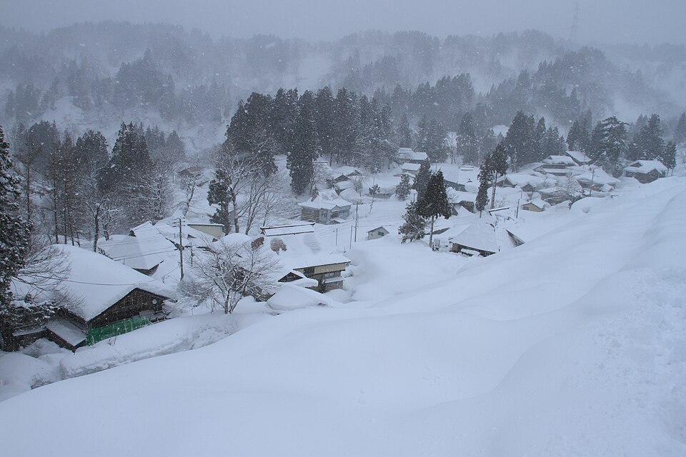
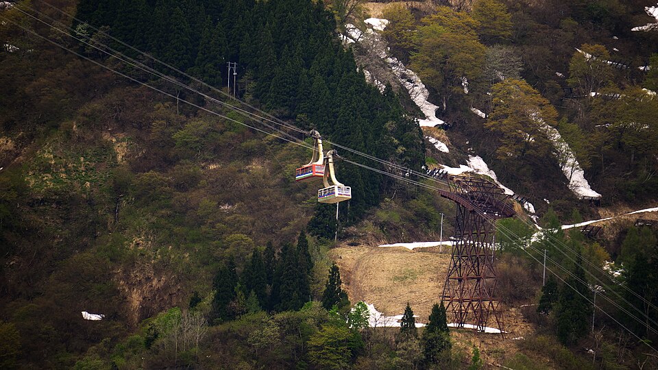
Reference photos of the region related to this entry. They are not photos of the listed facility or product.
 Enlarge ↗
 Enlarge ↗
Instagram posts from Niigata (from official accounts)
There are no posts linked to this place yet. Posts from the prefecture's official accounts are shown, rotating every minute.