

.jpg)


Overview
Stretches were deliberately left unbanked to let floods pass - villages and fields laid out on the assumption of inundation.
About this place
The Yoshino River (吉野川 Yoshino-gawa) is a Class A river on the island of Shikoku, Japan. It is 194 km (121 mi) long and has a watershed of 3,750 km2 (1,450 sq mi). It is the second longest river in Shikoku (slightly shorter than the Shimanto), and is the only river whose watershed spreads across all four prefectures of the island.
Source: Wikipedia (CC BY-SA 4.0)
Source ja.wikipedia.org ↗Key facts
Founded / opened:Edo period Highlights / collection:Section without embankments, Village coexisting with floods Genre:Architecture, Outdoor art and land art
Source ja.wikipedia.org ↗Before you go
Three questions from the World Question Box that relate to this entry.
More in Architecture


Check before you visit · References
The original sources are listed here. Confirm opening hours, whether visits are accepted, fees and access with the latest official information.
Crafts and specialties of this prefecture
Written by Value Village from public sources. Nothing here is reproduced from another site. Languages: ja / en
Photos of Tokushima
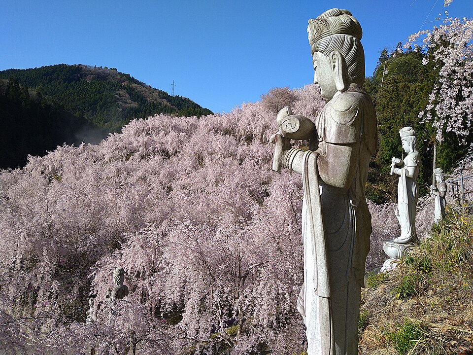
Reference photos of the region related to this entry. They are not photos of the listed facility or product.
 Enlarge ↗
Instagram posts from Tokushima (from official accounts)
There are no posts linked to this place yet. Posts from the prefecture's official accounts are shown, rotating every minute.