


 — · CC BY-SA 3.0


Overview
A paved stretch of the Nakahechi route of the Kumano Kodo, running through an avenue of cedars.
About this place
Daimonzaka is a sloping path in Nachikatsuura, Wakayama Prefecture, and an approach to Kumano Nachi Taisha. It is part of the Kumano Kodo (Kumano pilgrimage routes) and the Nakahechi route. It is known as the place that best preserves the old appearance of the Kumano Kodo: a stone-stepped and stone-paved path of about 1 km running from the foot of the mountain at Ichinono, Nachikatsuura, on Wakayama Prefectural Route 46 (Nachisan-Katsuura Line), up to Mount Nachi. There was once a large gate at the entrance of the slope where tolls were collected, and this is said to be the origin of the name. Its official route name is Nachikatsuura Town Road Daimonzaka Line, and it is managed by Nachikatsuura Town.
Source: Wikipedia (CC BY-SA 4.0)
Source ja.wikipedia.org ↗Key facts
Designation:World Cultural Heritage Site Blessings:Traffic safety
Source ja.wikipedia.org ↗Before you go
Three questions from the World Question Box that relate to this entry.
More in Shrines & Temples


Check before you visit · References
The original sources are listed here. Confirm opening hours, whether visits are accepted, fees and access with the latest official information.
Crafts and specialties of this prefecture
Written by Value Village from public sources. Nothing here is reproduced from another site. Languages: ja / en / zh
Photos of Wakayama
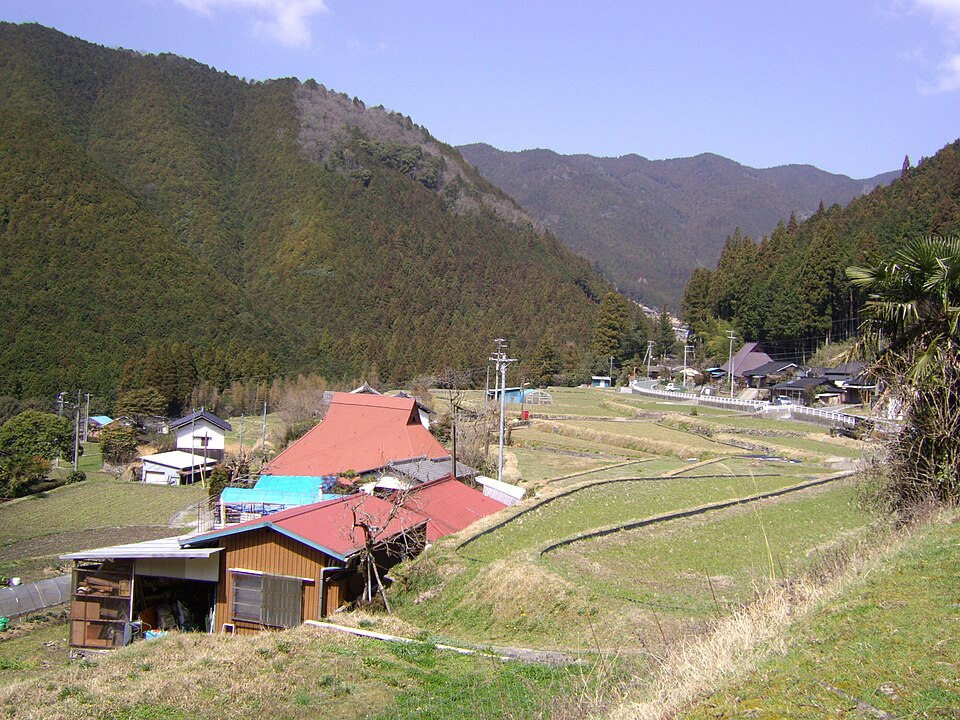
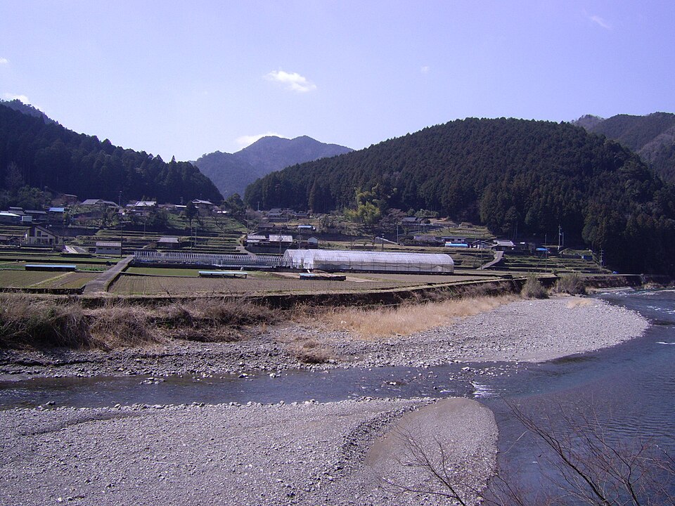
Reference photos of the region related to this entry. They are not photos of the listed facility or product.
 Enlarge ↗
 Enlarge ↗
Instagram posts from Wakayama (from official accounts)
There are no posts linked to this place yet. Posts from the prefecture's official accounts are shown, rotating every minute.