Overview
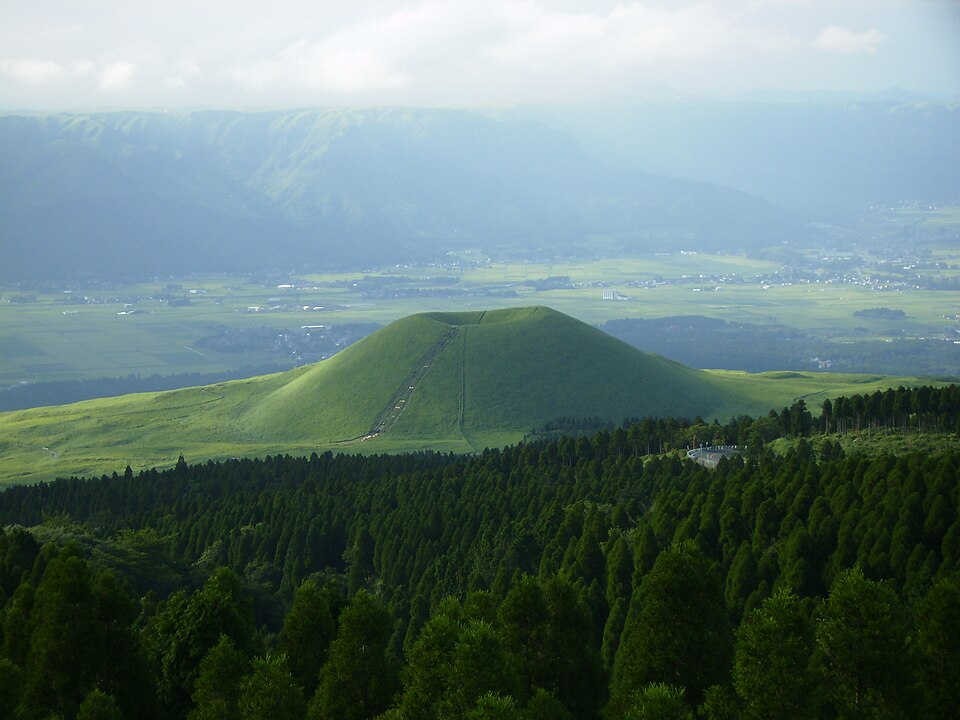
A hill about 80 metres high in Aso, formed by an eruption some 3,300 years ago, with a dip at its top.
About this place
A small hill about 80 m high in the Aso area. Said to have been formed by an eruption about 3,300 years ago, it is shaped like an upturned bowl with a large depression at the top. The slopes are covered in grassland and turn completely green from spring to summer.
Source kumamoto.guide ↗Before you go
Three questions from the World Question Box that relate to this entry.
Contributions
Corrections, first-hand notes, opening hours and translations from visitors and residents, checked before publishing.
Contribute about this place →More in Historic Districts


Check before you visit · References
The original sources are listed here. Confirm opening hours, whether visits are accepted, fees and access with the latest official information.
Crafts and specialties of this prefecture
Written by Value Village from public sources. Nothing here is reproduced from another site. Languages: ja / en / zh
Photos of Kumamoto
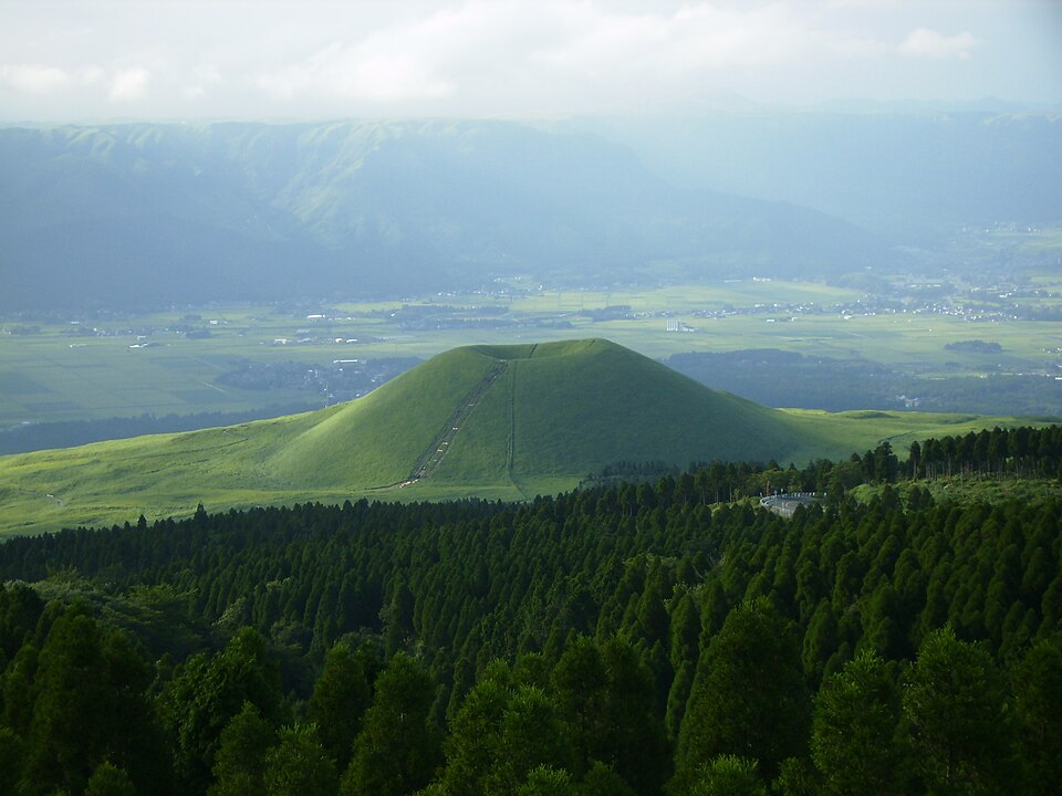
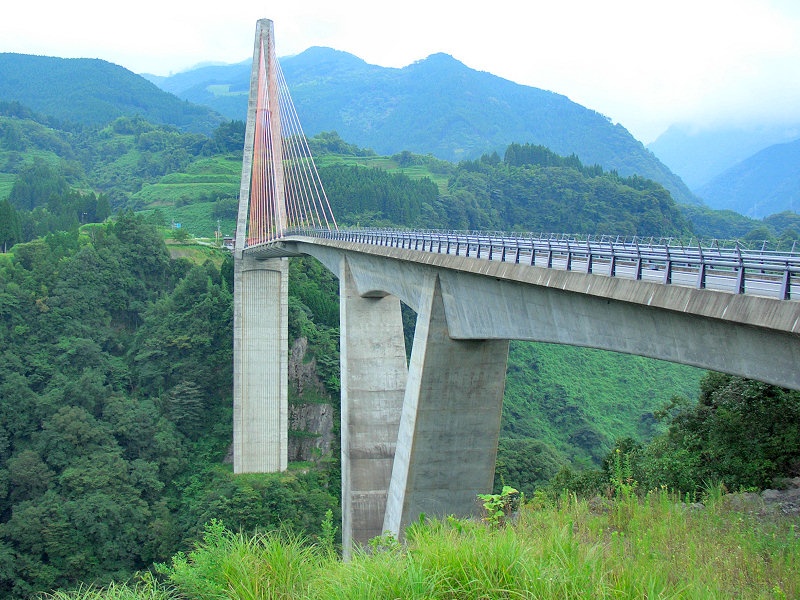
Reference photos of the region related to this entry. They are not photos of the listed facility or product.
 Enlarge ↗
 Enlarge ↗
Instagram posts from Kumamoto (from official accounts)
There are no posts linked to this place yet. Posts from the prefecture's official accounts are shown, rotating every minute.