


Overview
A pass on National Route 352 in Uonuma, known for the sea of clouds that forms at dawn.
About this place
Shiori Pass is a pass in Uonuma, Niigata Prefecture. It is on National Route 352. Its elevation is 1,065 m. Until the early modern period, the pass road ran south of the present National Route 352. In particular, when the Takada domain began mining the Daifuku silver mine in 1675 (Meireki 3), Sakamoto, the starting point of Shiori Pass, flourished as a post town. But when the silver mine closed in 1859 (Ansei 6), the pass road fell into disuse.
Source: Wikipedia (CC BY-SA 4.0)
Source ja.wikipedia.org ↗Verification notes
[Note] National Route 352 (near Shiori Pass) may be closed to traffic. Please check the latest traffic information on the Uonuma City Tourism Association website. ◎ Uonuma City traffic information is here
Source niigata-kankou.or.jp ↗Official website
Check the official website for current opening hours, fees and closing days.
Source iine-uonuma.jp ↗Before you go
Three questions from the World Question Box that relate to this entry.
Contributions
Corrections, first-hand notes, opening hours and translations from visitors and residents, checked before publishing.
Contribute about this place →More in Nature & Scenery


Check before you visit · References
The original sources are listed here. Confirm opening hours, whether visits are accepted, fees and access with the latest official information.
Crafts and specialties of this prefecture
Written by Value Village from public sources. Nothing here is reproduced from another site. Languages: ja / en / zh
Photos of Niigata
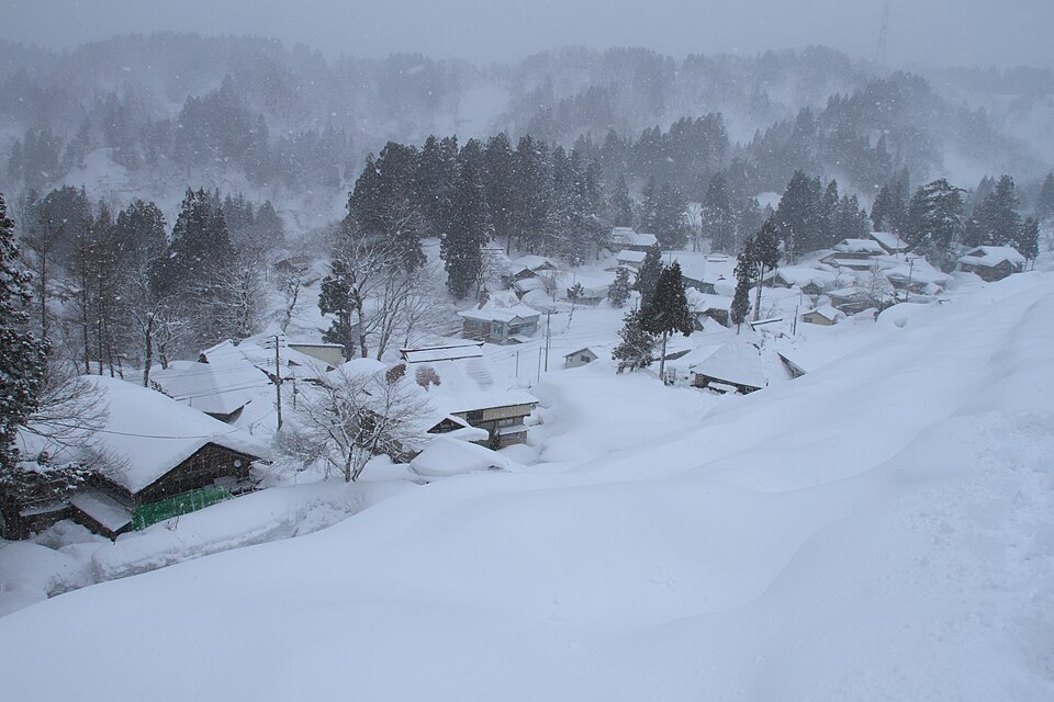
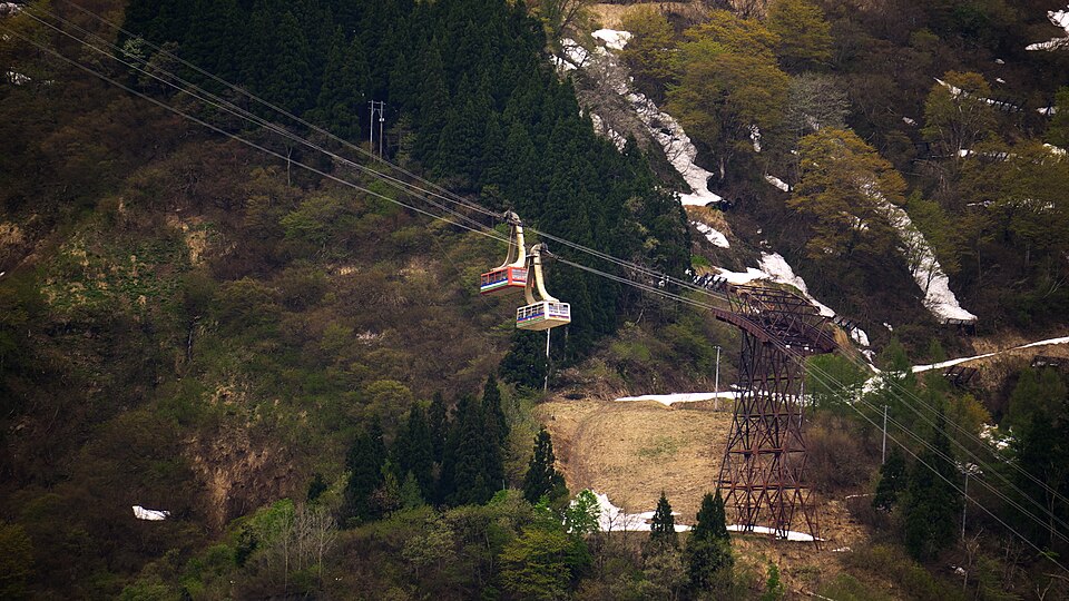
Reference photos of the region related to this entry. They are not photos of the listed facility or product.
 Enlarge ↗
 Enlarge ↗
Instagram posts from Niigata (from official accounts)
There are no posts linked to this place yet. Posts from the prefecture's official accounts are shown, rotating every minute.