Overview
The collective name for the 900-metre peaks of Sado, with wild flowers on the uplands.
About this place
A highland in Umetsu, Sado, Niigata Prefecture. Its formal name is Tadara-mine, and the area combining three mountains of around 900 m is called Mt. Donden. The name is said to derive from donrei, meaning a mountain with a rounded top. Near the center of the rugged Osado mountains, only this area shows a gentle mountain shape. The campsite and trekking courses are popular, and it is a treasure trove of wild mountain flowers, known as one of the 100 Flower Mountains.
Source niigata-kankou.or.jp ↗Verification notes
・A liner bus runs from Ryotsu Port (late April to late May only) ・Large buses must apply in advance to the police station for permission to pass. (However, vehicles longer than 9 meters cannot pass.)
Source niigata-kankou.or.jp ↗Official website
Check the official website for current opening hours, fees and closing days.
Source donden-sanso.jp ↗Before you go
Three questions from the World Question Box that relate to this entry.
Contributions
Corrections, first-hand notes, opening hours and translations from visitors and residents, checked before publishing.
Contribute about this place →More in Nature & Scenery


Check before you visit · References
The original sources are listed here. Confirm opening hours, whether visits are accepted, fees and access with the latest official information.
Crafts and specialties of this prefecture
Written by Value Village from public sources. Nothing here is reproduced from another site. Languages: ja / en / zh
Photos of Niigata
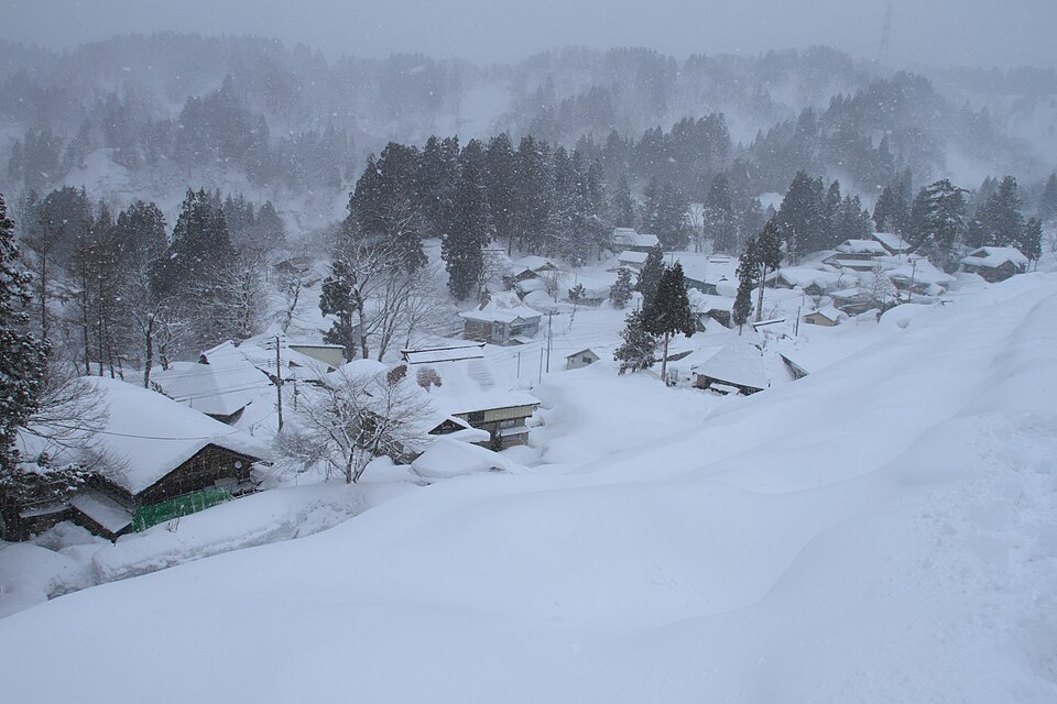
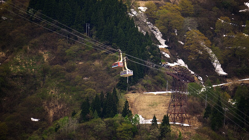
Reference photos of the region related to this entry. They are not photos of the listed facility or product.
 Enlarge ↗
 Enlarge ↗
Instagram posts from Niigata (from official accounts)
There are no posts linked to this place yet. Posts from the prefecture's official accounts are shown, rotating every minute.