


Overview
A 482-metre mountain in Niigata, where almost every plant native to the prefecture can be seen.
About this place
Kakudayama is a mountain in Nishikan Ward, Niigata, Niigata Prefecture, with an elevation of 481.7 m. It is also called Chojabaruyama. Located on the Sea of Japan side of the Echigo Plain, it is the northernmost of the Yahiko mountain mass that continues from Mount Yahiko. Together with the series of mountains of the Yahiko mountain range, it forms part of Sado-Yahiko-Yoneyama Quasi-National Park. The southeast side is mainly cedar plantation, and the northwest side is mainly deciduous broadleaf forest made up of konara oak, mizunara oak, azaleas and others. The gentle slopes from the foot to the middle of the mountain are used as persimmon orchards.
Source: Wikipedia (CC BY-SA 4.0)
Source ja.wikipedia.org ↗Verification notes
[Mt. Kakuda trailheads] ●Tojima trailhead The trailhead is at Tojima, a post town on the old Hokkoku Highway, and is the shortest course to the summit. Up 60 minutes, down 40 minutes, distance 1.7 km, restroom at the trailhead Parking (30 spaces) ●Gokatoge trailhead The gentlest and easiest to climb of the Mt. Kakuda courses, suited to families. Up 90 minutes, down 50 minutes, distance 3.1 km, restroom at the trailhead Parking (30 spaces) ●Todai (lighthouse) trailhead A course descending from the summit, with views of the Echigo Nanaura coastline, Sado, and Mt. Yoneyama. Up 120 minutes, down 90 minutes, distance 2.8 km, restroom at the trailhead Parking (300 spaces) ●Yunokoshi trailhead A somewhat steep, rustic course; the trailhead has a stream beside the road and offers much variety. Up 90 minutes, down 50 minutes, distance 2.6 km, no restroom at the trailhead Parking (5 spaces) ●Gorinseki trailhead At the trailhead are Kobo Shimizu spring and Gorin Falls; the course passes through grand pine and cedar plantations to reach the summit. Up 90 minutes, down 40 minutes, distance 2.1 km, no restroom at the trailhead Parking (none) ●Urahama trailhead A course from Gokahama via Omiyama and Sanbodaira to the summit. Up 90 minutes, down 50 minutes, distance 2.5 km, restroom at the trailhead (40 spaces) ●Fukui Hotaru no Sato trailhead Near the trailhead are the Hotaru no Sato 'Jonnobi-kan' and the Heisei Fukuju Dai-Kannon; the course is gentle and easy to climb. Up 90 minutes, down 50 minutes, distance 3.2 km, restroom at the trailhead Parking (10 spaces) ●Elevation:
Source niigata-kankou.or.jp ↗Official website
Check the official website for current opening hours, fees and closing days.
Source maki-niigata.com ↗Before you go
Three questions from the World Question Box that relate to this entry.
Contributions
Corrections, first-hand notes, opening hours and translations from visitors and residents, checked before publishing.
Contribute about this place →More in Nature & Scenery


Check before you visit · References
The original sources are listed here. Confirm opening hours, whether visits are accepted, fees and access with the latest official information.
Crafts and specialties of this prefecture
Written by Value Village from public sources. Nothing here is reproduced from another site. Languages: ja / en / zh
Photos of Niigata
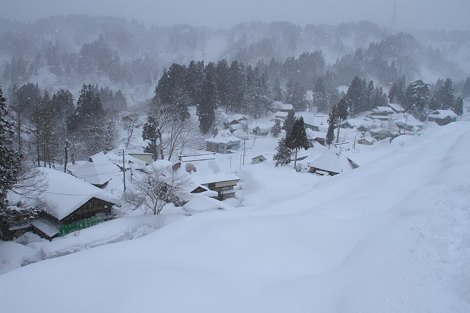
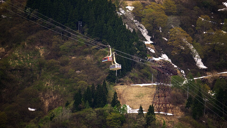
Reference photos of the region related to this entry. They are not photos of the listed facility or product.
 Enlarge ↗
 Enlarge ↗
Instagram posts from Niigata (from official accounts)
There are no posts linked to this place yet. Posts from the prefecture's official accounts are shown, rotating every minute.