


Overview
A deep blue pond at Murodo, where ptarmigan can be seen nearby.
About this place
A volcanic lake in Murodo, Tateyama, Toyama Prefecture, and the symbol of Murodo. A lake formed about 10,000 years ago, with a circumference of about 630 m and a depth of about 15 m, it can be reached on foot by a paved promenade from the Murodo Terminal. It is usually covered in deep snow until June, and from July to October the surface reflects the mountains. The dwarf pines on the lakeshore are habitat of the rock ptarmigan, a Special Natural Monument.
Source info-toyama.com ↗Verification notes
- Tourist volunteers: Tateyama Rindokai (Tateyama Town Tourism Association) - Prefectural Furusato Viewpoint (natural landscape) * near Murodo Mikurigaike
Source info-toyama.com ↗Before you go
Three questions from the World Question Box that relate to this entry.
Contributions
Corrections, first-hand notes, opening hours and translations from visitors and residents, checked before publishing.
Contribute about this place →More in Historic Districts


Check before you visit · References
The original sources are listed here. Confirm opening hours, whether visits are accepted, fees and access with the latest official information.
Crafts and specialties of this prefecture
Written by Value Village from public sources. Nothing here is reproduced from another site. Languages: ja / en / zh
Photos of Toyama
Reference photos of the region related to this entry. They are not photos of the listed facility or product.
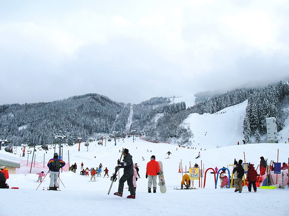 Enlarge ↗
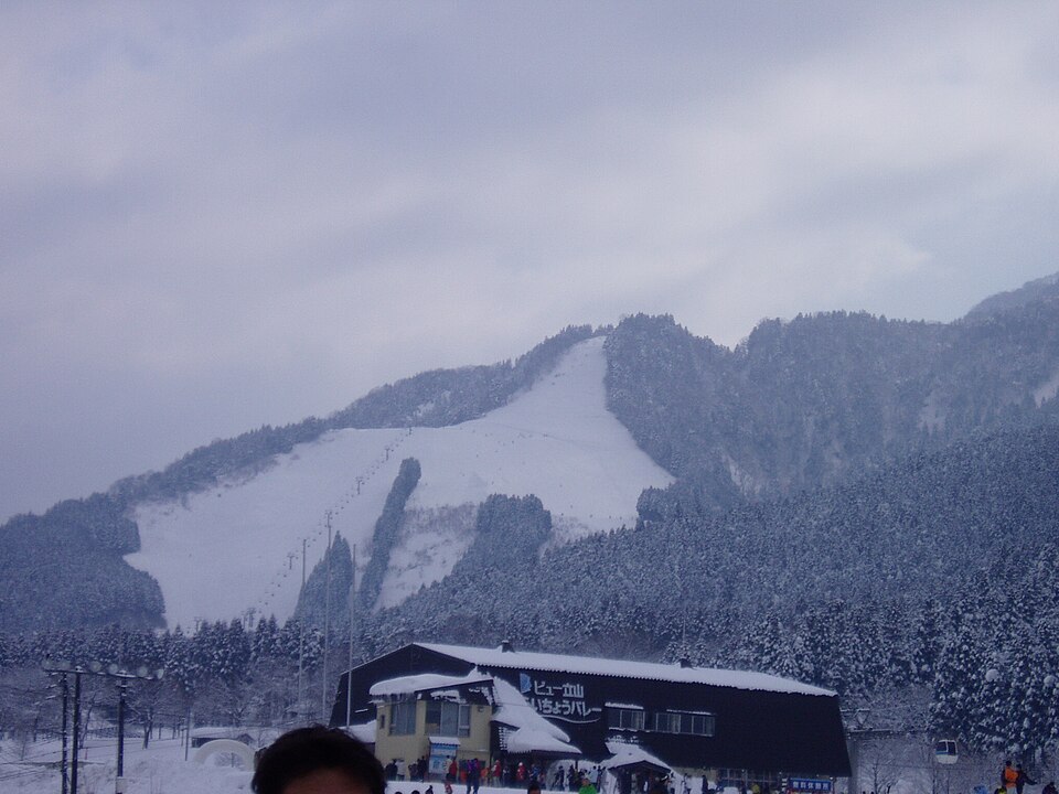 Enlarge ↗
Instagram posts from Toyama (from official accounts)
There are no posts linked to this place yet. Posts from the prefecture's official accounts are shown, rotating every minute.