Overview
A marsh formed by the activity of the Tateyama volcano, partway along the Tateyama Kurobe Alpine Route.
About this place
A pyroclastic flow plateau formed by the activity of the Tateyama volcano, spreading 4 km east to west and 2 km north to south. It lies on the Tateyama Kurobe Alpine Route. A Ramsar Convention registered site, it has about 3,000 small ponds and puddles called chitō. Around July you can enjoy alpine plants such as Geum pentapetalum and daylilies, and from late September to mid-October the autumn leaves of the wetland.
Source info-toyama.com ↗Before you go
Three questions from the World Question Box that relate to this entry.
Contributions
Corrections, first-hand notes, opening hours and translations from visitors and residents, checked before publishing.
Contribute about this place →More in Historic Districts


Check before you visit · References
The original sources are listed here. Confirm opening hours, whether visits are accepted, fees and access with the latest official information.
Crafts and specialties of this prefecture
Written by Value Village from public sources. Nothing here is reproduced from another site. Languages: ja / en / zh
Photos of Toyama
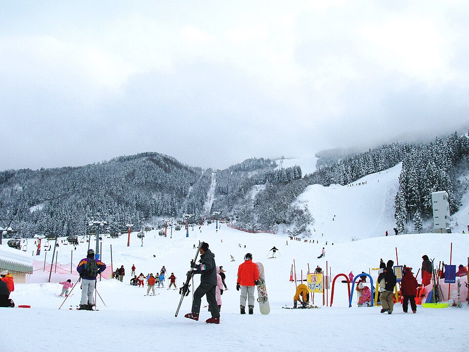
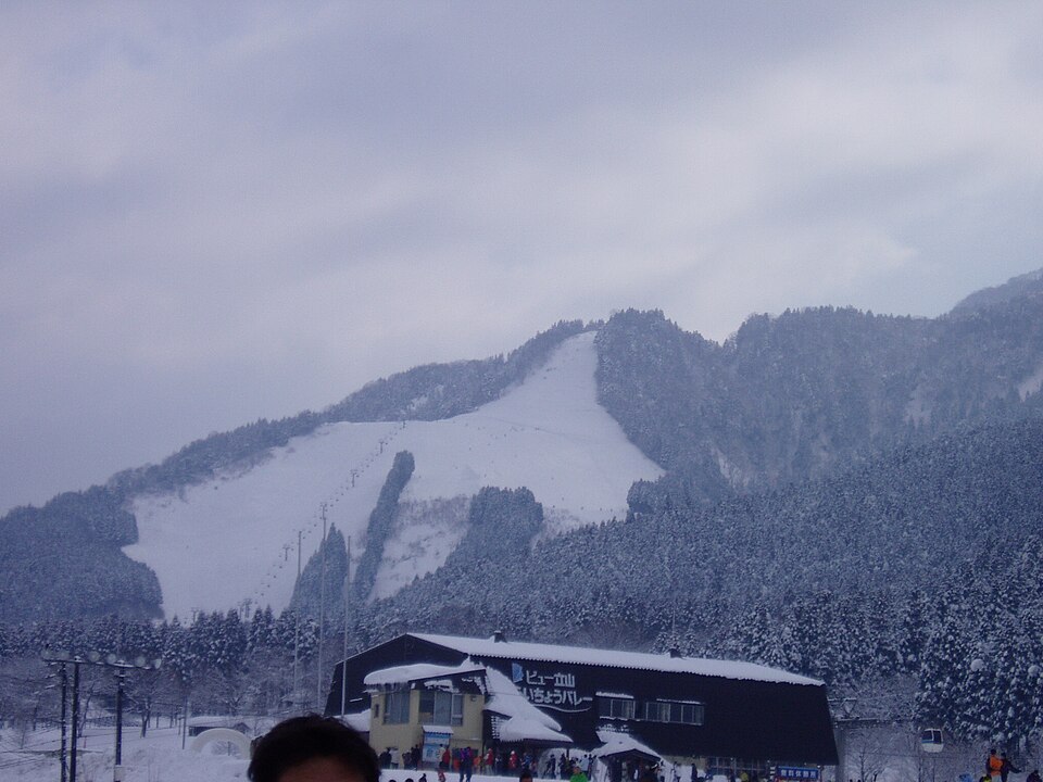
Reference photos of the region related to this entry. They are not photos of the listed facility or product.
 Enlarge ↗
 Enlarge ↗
Instagram posts from Toyama (from official accounts)
There are no posts linked to this place yet. Posts from the prefecture's official accounts are shown, rotating every minute.