

Overview
A 42.7-kilometre mountain road from Mount Koya to Ryujin Onsen, running through old-growth beech.
About this place
The Koya-Ryujin Skyline is a 42.7-kilometer (km) road starting at the Okunoin intersection in Koya, Ito District, Wakayama Prefecture, and ending at Ryujin Village, Tanabe (formerly Ryujin Village, Hidaka District). It was once a general toll road, but was opened free of charge in 2003 and is now a section of National Route 371.
Source: Wikipedia (CC BY-SA 4.0)
Source ja.wikipedia.org ↗Official website
Check the official website for current opening hours, fees and closing days.
Source ryujin-kanko.jp ↗Before you go
Three questions from the World Question Box that relate to this entry.
More in Hot Springs


Check before you visit · References
The original sources are listed here. Confirm opening hours, whether visits are accepted, fees and access with the latest official information.
Crafts and specialties of this prefecture
Written by Value Village from public sources. Nothing here is reproduced from another site. Languages: ja / en / zh
Photos of Wakayama
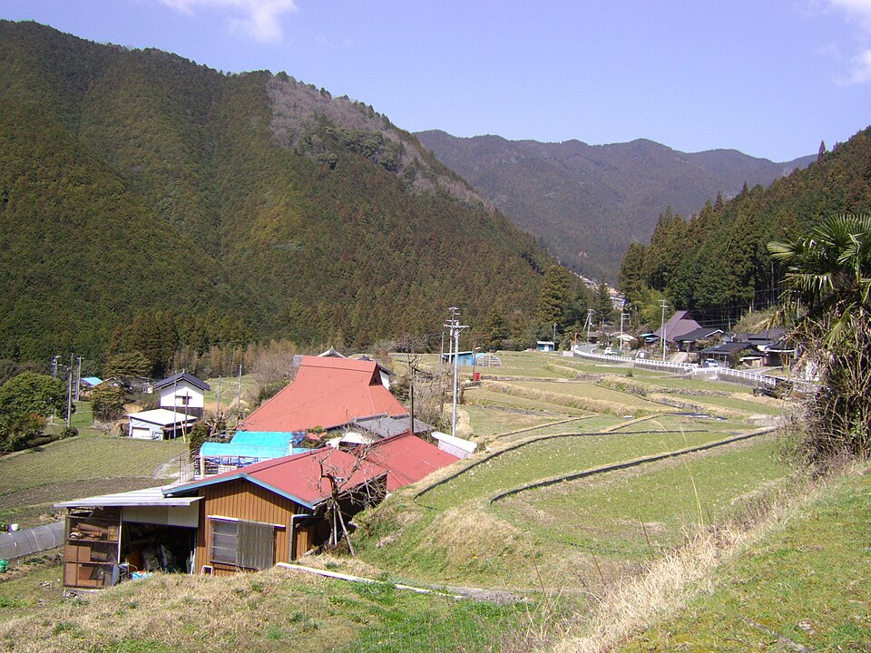
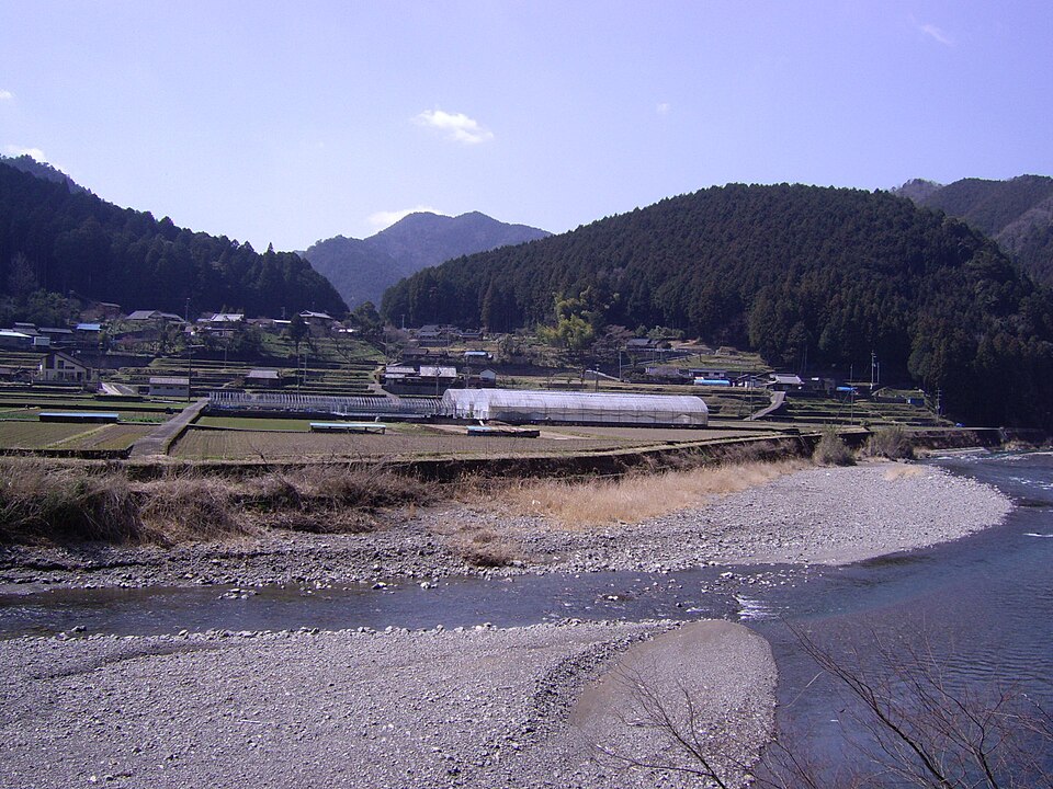
Reference photos of the region related to this entry. They are not photos of the listed facility or product.
 Enlarge ↗
 Enlarge ↗
Instagram posts from Wakayama (from official accounts)
There are no posts linked to this place yet. Posts from the prefecture's official accounts are shown, rotating every minute.