
Overview
You walk between walls of snow 20 metres high, cut open by the ploughs.
About this place
The Tateyama Kurobe Alpine Route (立山黒部アルペンルート, Tateyama Kurobe Arupen Rūto) is a mountain sightseeing route between Tateyama, Toyama and Ōmachi, Nagano, Japan. Opened on June 1, 1971, it is 37 kilometres (23 miles) long, with a difference in elevation of as much as 1,975 metres (6,480 feet). The Alpine Route goes through Tateyama (Mt. Tate) in the Hida Mountains with many scenic sites as well as walking trails, including Japan's largest dam, Kurobe Dam. Some stations have hotels around them and are used as bases for mountain climbing or trekking. From the top of the mountain, it is possible to see Mount Fuji on a clear day.
Source: Wikipedia (CC BY-SA 4.0)
Source ja.wikipedia.org ↗Official website
Check the official website for current opening hours, fees and closing days.
Source alpen-route.com ↗Before you go
Three questions from the World Question Box that relate to this entry.
More in Nature & Scenery


Check before you visit · References
The original sources are listed here. Confirm opening hours, whether visits are accepted, fees and access with the latest official information.
Crafts and specialties of this prefecture
Written by Value Village from public sources. Nothing here is reproduced from another site. Languages: ja / en / zh
Photos of Toyama
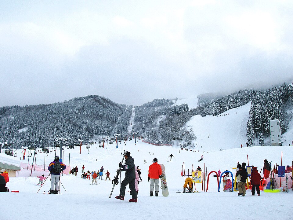
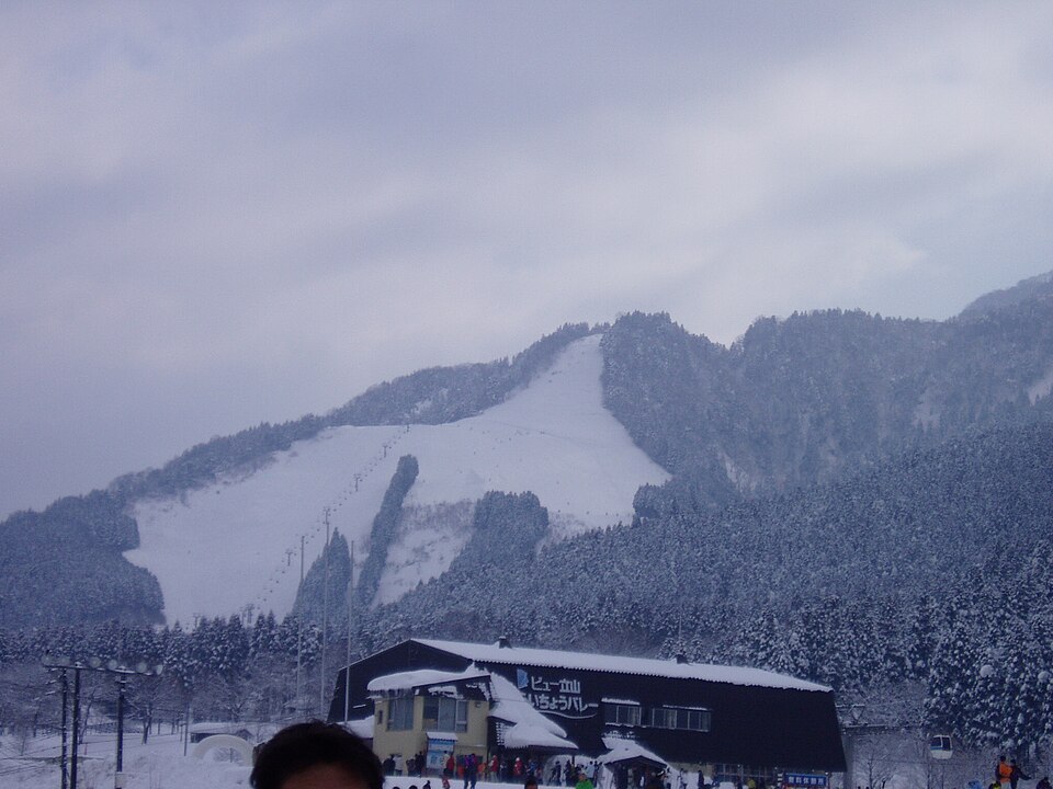
Reference photos of the region related to this entry. They are not photos of the listed facility or product.
 Enlarge ↗
 Enlarge ↗
Instagram posts from Toyama (from official accounts)
There are no posts linked to this place yet. Posts from the prefecture's official accounts are shown, rotating every minute.