


Overview
Nine-tenths forest, its rivers lined with mangrove, and people confined to a thin strip along the shore.
About this place
Iriomote Island (西表島, Iriomote-jima; Yaeyama: Irïmutii; Iriomote: Irimutii; Okinawan: Iriumuti) is the largest of the Yaeyama Islands of Japan, and the second largest in Okinawa Prefecture after Okinawa Island itself. The island has an area of 289.27 km2 (111.69 sq mi) and a 2005 population of 2,347. The island does not have an airstrip, and most visitors—over 390,000 in 2006—arrive from Ishigaki by ferry, a 31.4 km (19.5 mi) ride to Uehara Port (上原港) on Iriomote's northeast coast or Ōhara Port (大原港) on the southeast coast. Administratively, the island belongs to Taketomi Town, Okinawa Prefecture. Its infrastructure is limited to a single coastal road connecting the hamlets on the northern and eastern shores. Iriomote Island is not part of Japan's flight information region, but that of Taiwan.
Source: Wikipedia (CC BY-SA 4.0)
Source ja.wikipedia.org ↗Key facts
Highlights / collection:World Heritage Site, Mangrove waterways, 90% of the island is forest Genre:Outdoor art and land art
Source ja.wikipedia.org ↗Before you go
Three questions from the World Question Box that relate to this entry.
More in Contemporary Art


Check before you visit · References
The original sources are listed here. Confirm opening hours, whether visits are accepted, fees and access with the latest official information.
Crafts and specialties of this prefecture
Written by Value Village from public sources. Nothing here is reproduced from another site. Languages: ja / en
Photos of Okinawa
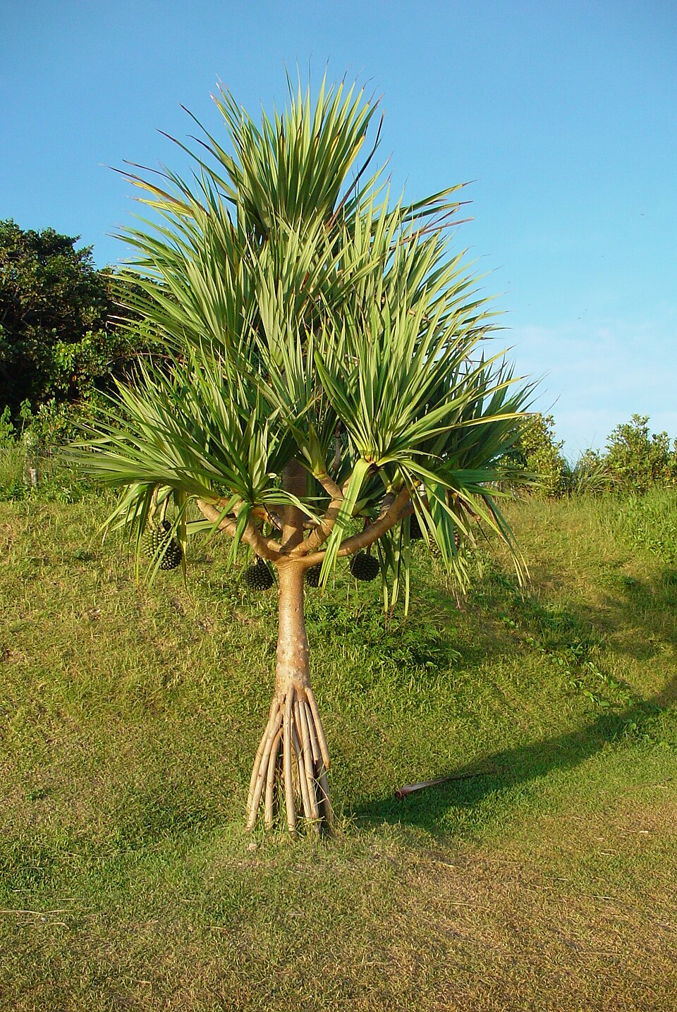
Reference photos of the region related to this entry. They are not photos of the listed facility or product.
 Enlarge ↗
Instagram posts from Okinawa (from official accounts)
There are no posts linked to this place yet. Posts from the prefecture's official accounts are shown, rotating every minute.