


 — · CC BY-SA 4.0
 — · CC BY-SA 4.0
 — · CC BY-SA 4.0
Overview
A six-metre tidal range leaves mud to the horizon, ranked with the geometric poles of the seaweed farms.
About this place
The Ariake Sea (有明海, Ariake-kai) is a body of salt water surrounded by Fukuoka, Saga, Nagasaki, and Kumamoto Prefectures, all of which lie on the island of Kyūshū in Japan. It is the largest bay in Kyūshū. Its deepest point is only about 20 meters deep, and extreme tides exceed 4 meters (13 ft), covering roughly 1,700 square kilometres (660 sq mi). Isahaya Bay is a branch of the Ariake Sea. Across the Amakusa Islands lies the Yatsushiro Sea. Many harbors are located on the coast of the Ariake Sea. Among them are Misumi (in the city of Uki, Kumamoto Prefecture), Shimabara (Shimabara, Nagasaki), Taira (Unzen, Nagasaki), Nagasu (Nagasu, Kumamoto), Kumamoto (Kumamoto, Kumamoto), Miike (Omuta, Fukuoka), Kuchinotsu (Minamishimabara, Nagasaki), and Oniike (Amakusa, Kumamoto). Five ferry routes cross the Ariake Sea. Various species of fauna, including mudskippers, pen shells (Atrina pectinata), and fiddler crabs, live in the Ariake Sea. In autumn, the Suaeda halophyte shichimenso (Suaeda japonica) grows along the shore. The Ariake Sea has an extensive network of tidal flats, which are replenished with volcanic ash carried from Mount Aso and Mount Kujū to the sea by the Chikugo River. In addition to being used for fishing, every year around the end of May, the flats at Kashima serve as the venue for the Gatalympics, a novelty sports event. Mount Unzen overlooks the Ariake Sea; the Arie River, which has its source on the volcano, flows into the Ariake Sea. The Ariake Sea is used for aq
Source: Wikipedia (CC BY-SA 4.0)
Source ja.wikipedia.org ↗Key facts
Highlights / collection:6-metre tidal range, Rows of laver-farming poles Genre:Outdoor art and land art
Source ja.wikipedia.org ↗Before you go
Three questions from the World Question Box that relate to this entry.
More in Contemporary Art


Check before you visit · References
The original sources are listed here. Confirm opening hours, whether visits are accepted, fees and access with the latest official information.
Crafts and specialties of this prefecture
Written by Value Village from public sources. Nothing here is reproduced from another site. Languages: ja / en
Photos of Saga
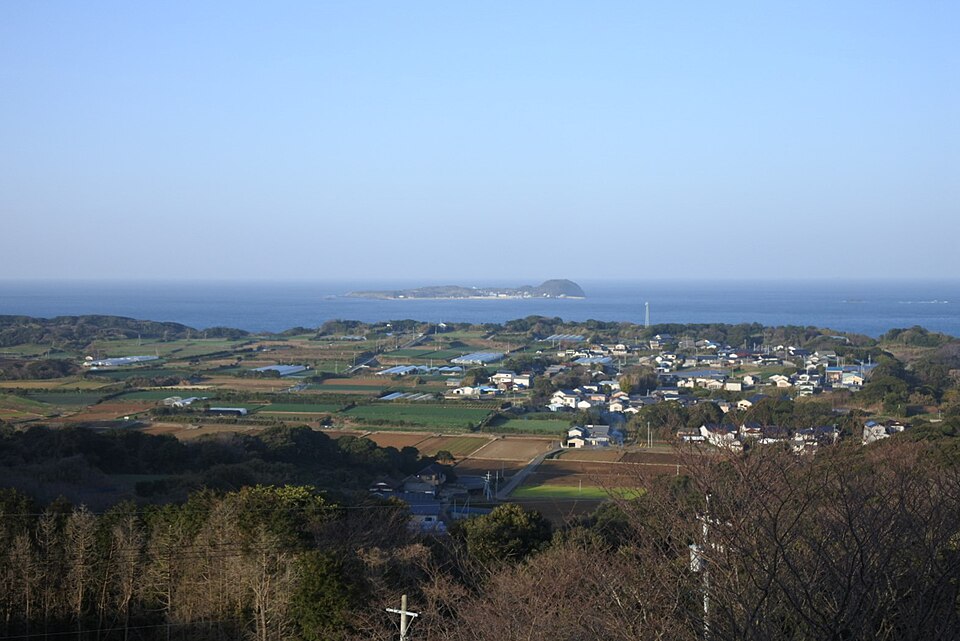
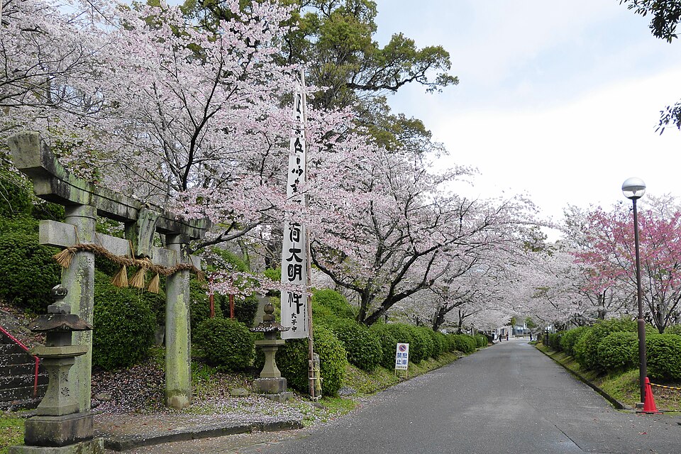
Reference photos of the region related to this entry. They are not photos of the listed facility or product.
 Enlarge ↗
 Enlarge ↗
Instagram posts from Saga (from official accounts)
There are no posts linked to this place yet. Posts from the prefecture's official accounts are shown, rotating every minute.