

Overview
About 20 kilometres of coast road from Kodomari to Cape Tappi, looking down from the pass on the Sea of Japan and the Tsugaru shore.
About this place
A driving route in Sotogahama, Aomori. A stretch of about 20 km between Kodomari and Cape Tappi on National Route 339, part of the road crossing the Tsugaru Peninsula from end to end. The road runs from the Sea of Japan coast up into the mountains in a series of hairpin curves, and a viewing platform gives a full view of the road. No toll; closed in winter from mid-November to late April.
Source aomori-tourism.com ↗Before you go
Three questions from the World Question Box that relate to this entry.
Contributions
Corrections, first-hand notes, opening hours and translations from visitors and residents, checked before publishing.
Contribute about this place →More in Experiences


Check before you visit · References
The original sources are listed here. Confirm opening hours, whether visits are accepted, fees and access with the latest official information.
Crafts and specialties of this prefecture
Written by Value Village from public sources. Nothing here is reproduced from another site. Languages: ja / en / zh
Photos of Aomori
Reference photos of the region related to this entry. They are not photos of the listed facility or product.
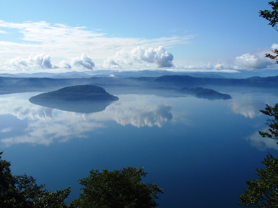 Enlarge ↗
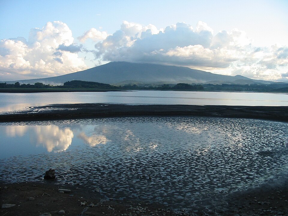 Enlarge ↗
Instagram posts from Aomori (from official accounts)
There are no posts linked to this place yet. Posts from the prefecture's official accounts are shown, rotating every minute.