


Overview
A 518-metre mountain on the border of Arita and Takeo, with a run of rock peaks.
About this place
Kurokamiyama (Kurokamizan) is a mountain with an elevation of 516 m on the municipal border between Takeo and Arita, Nishimatsuura District, Saga Prefecture. One of the 'New 100 Famous Japanese Mountains' and '100 Famous Kyushu Mountains.' It is in the Kurokami mountains stretching along the municipal borders of Imari, Takeo and Arita in Nishimatsuura District, and is regarded as the main peak of the range. The summit used to be the border of the three towns of former Yamauchi, former Arita and former Nishiarita. The mountain name is mostly read 'Kurokamiyama' locally, and 'Kurokamizan' and 'Kurokamisan' are also seen in the literature.
Source: Wikipedia (CC BY-SA 4.0)
Source ja.wikipedia.org ↗Verification notes
We recommend preparing and submitting a climbing plan. For details, please check the website of the Takeo City Tourism Association (general incorporated foundation).
Source asobo-saga.jp ↗Before you go
Three questions from the World Question Box that relate to this entry.
More in Nature & Scenery


Check before you visit · References
The original sources are listed here. Confirm opening hours, whether visits are accepted, fees and access with the latest official information.
Crafts and specialties of this prefecture
Written by Value Village from public sources. Nothing here is reproduced from another site. Languages: ja / en / zh
Photos of Saga
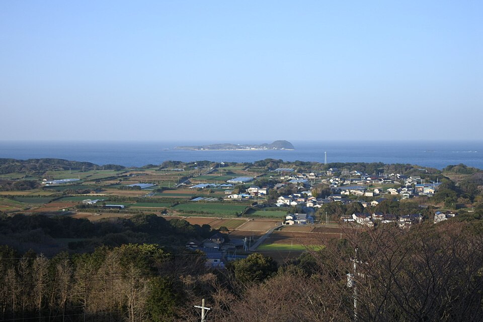
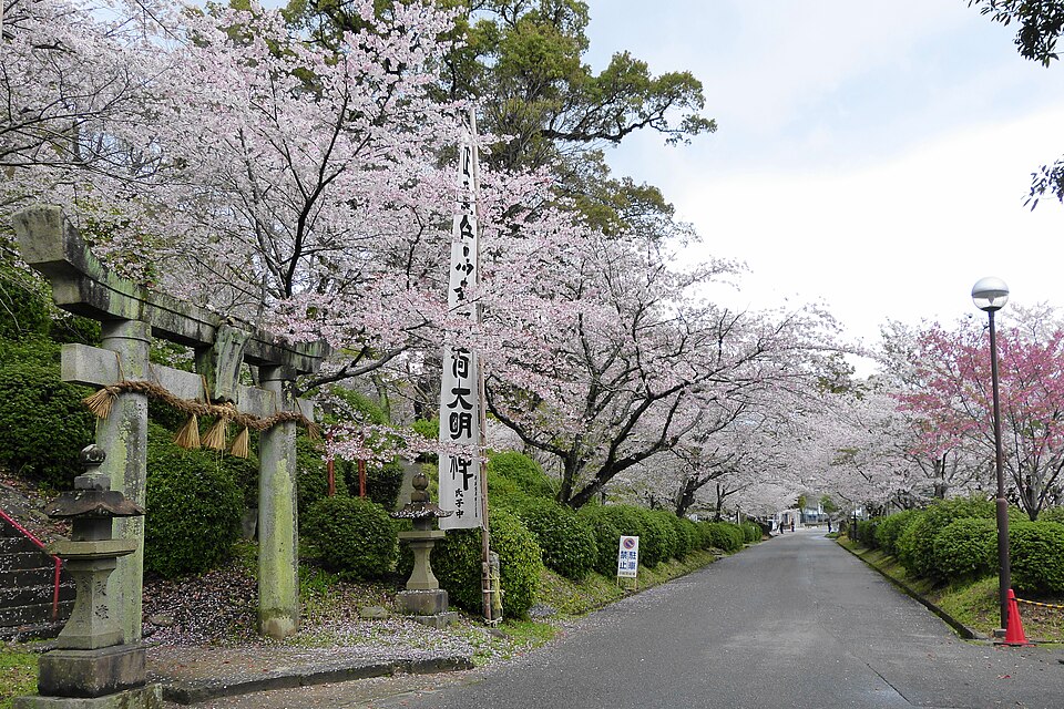
Reference photos of the region related to this entry. They are not photos of the listed facility or product.
 Enlarge ↗
 Enlarge ↗
Instagram posts from Saga (from official accounts)
There are no posts linked to this place yet. Posts from the prefecture's official accounts are shown, rotating every minute.