Overview
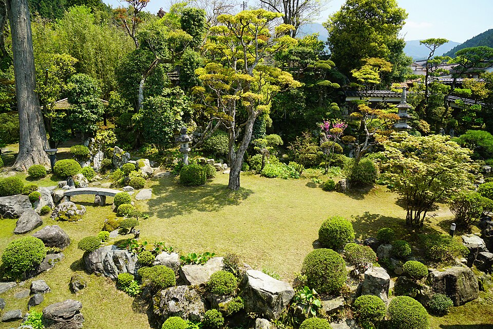
A reservoir in Kurayoshi, with Mount Daisen reflected upside down on its surface.
About this place
A pond in Sekigane, Kurayoshi, Tottori. The largest of 8 reservoirs built to irrigate 450 ha of rice fields in the Tenjinno district, its formal name is Okamidani Reservoir. It is called Daisen Pond because the shape of Mt. Daisen is reflected upside down. Nearby is the free campground Daisen Pond Campground, and as part of the Chugoku Nature Trail there are rest areas, public toilets, and a walking path for viewing azaleas, and canoe experiences (reservation required) are also available.
Source tottori-guide.jp ↗Before you go
Three questions from the World Question Box that relate to this entry.
Contributions
Corrections, first-hand notes, opening hours and translations from visitors and residents, checked before publishing.
Contribute about this place →More in Craft Experiences


Check before you visit · References
The original sources are listed here. Confirm opening hours, whether visits are accepted, fees and access with the latest official information.
Crafts and specialties of this prefecture
Written by Value Village from public sources. Nothing here is reproduced from another site. Languages: ja / en / zh
Photos of Tottori
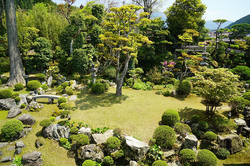
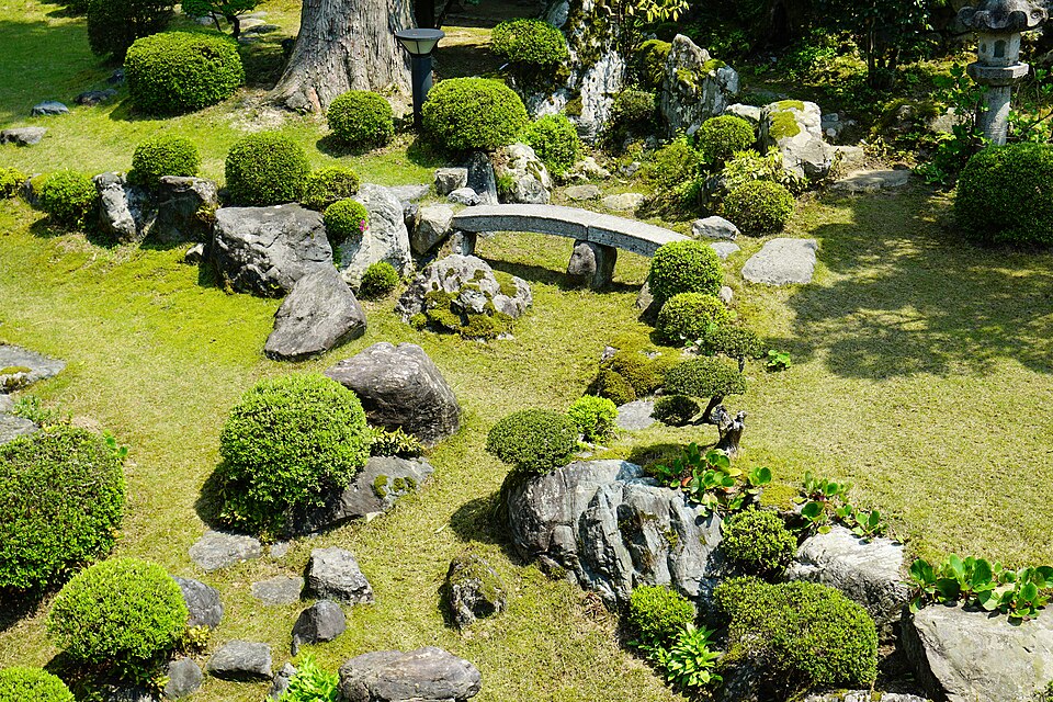
Reference photos of the region related to this entry. They are not photos of the listed facility or product.
 Enlarge ↗
 Enlarge ↗
Instagram posts from Tottori (from official accounts)
There are no posts linked to this place yet. Posts from the prefecture's official accounts are shown, rotating every minute.