
.jpg)
.jpg)
.jpg)
.jpg)
.jpg)
.jpg)
.jpg)
.jpg)
Overview
A canal built for loading cargo. Stone warehouses stand mirrored in the water.
The canal that served the port
The Otaru Canal was completed in 1923. Its background is the aim of making more efficient the lighter (barge) cargo handling that linked ships anchored offshore with the land. According to the explanation by Otaru City, it was not dug inland but was built by reclaiming land offshore along the coast. For that reason its course is not a straight line but gently curved. The history of port logistics is engraved in the waterfront scenery.
Source city.otaru.lg.jp ↗The North Canal and the scale of the waterfront
The total length is 1,140 meters. The section along the Dodo Rinko Line is 20 meters wide, while the North Canal keeps its original width of 40 meters. When strolling, notice not only the exteriors of the warehouses but also the water surface, whose width differs from place to place. It offers a clue for comparing how the space used for cargo handling has been preserved and repurposed, even within the same canal.
Source city.otaru.lg.jp ↗About this place
The Otaru Canal is a canal in Otaru, Hokkaido. It has now ended its mission as a logistics facility and is one of the heritage sites making up the Japan Heritage designated by the Agency for Cultural Affairs, "Otaru, the Town Called the 'Heart' of Hokkaido." Completed in 1923 (Taisho 12), it was built by the offshore reclamation method, the only one of its kind in Japan, and is characterized by its gentle curve. It is 1,140 m long, 20 m wide along the Rinko Line, and 40 m wide in the northern part (popularly called the North Canal), unchanged from its original state.
Source: Wikipedia (CC BY-SA 4.0)
Source ja.wikipedia.org ↗Key facts
Founded / opened:1923
Source ja.wikipedia.org ↗Before you go
Three questions from the World Question Box that relate to this entry.
Same place in other collections

Check before you visit · References
The original sources are listed here. Confirm opening hours, whether visits are accepted, fees and access with the latest official information.
Crafts and specialties of this prefecture
Written by Value Village from public sources. Nothing here is reproduced from another site. Languages: ja / en / zh
Photos of Hokkaido
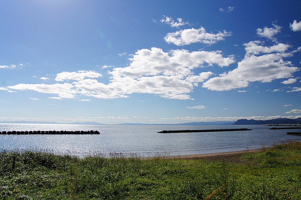
Reference photos of the region related to this entry. They are not photos of the listed facility or product.
 Enlarge ↗
Instagram posts from Hokkaido (from official accounts)
There are no posts linked to this place yet. Posts from the prefecture's official accounts are shown, rotating every minute.